
Spring Hill Neighbor Sources
Public block research is a set of narrow records, not a shared household directory. Parcel geometry shows the land next to an address. The assessor shows an owner for the displayed tax year, the property location, and possibly a separate mailing address. A deed index may explain a transfer, while a dated directory may provide a historical lead. Voter search and community resources have their own limits. Keep the county, parcel identifier, source, and date beside every result.
| Source | What It Shows About a Block | Access |
|---|---|---|
| Williamson Maps / ArcGIS or TPAD GIS | Parcel geometry, adjacent parcels, and available county, city, zoning, flood, ZIP, or voting layers | Public map browse and click; map fields can change |
| Maury TPAD or Williamson property search | Tax-year owner, mailing and property-location addresses, parcel, lot, subdivision, assessment, and sale fields | Public individual search; displayed dates matter |
| County deed sources | Transfer parties, recording dates, document type, legal description, and book/page or instrument references | Maury office and TitleSearcher; Williamson Register or historical Archives route |
| Tennessee voter lookup | Individual registration confirmation and county routing only | County, first name, last name, birth month, and birth year required |
| Library and archive directories | Dated address-to-name leads for earlier occupants | Spring Hill Library, Special Collections, Archives, or TSLA; runs are incomplete |
An owner is not automatically an occupant. A mailing address can be elsewhere, and nearby parcel geometry does not prove a private relationship among the people connected with separate records. Use the table to decide what a result actually supports.
Map a Spring Hill Neighbor Block
Start the parcel process with a complete address and the county. In the Williamson portion of Spring Hill, Williamson County Maps routes to ArcGIS layers for parcel, ZIP, voting, zoning, and flood context. For a Maury parcel, the research did not locate an official standalone GIS viewer. Use TPAD’s property/GIS route when it is available, then confirm with the Maury Assessor rather than assuming a Williamson map applies across the city line.
- Normalize the address through USPS and retain the original spelling, unit, postal city, ZIP, municipality, and county as separate fields.
- Find the subject parcel in the correct assessor or map route and save its map, group, parcel, subdivision, and lot identifiers where displayed.
- Click adjacent parcel geometries. Record only the visible parcel key and map observation, then query each parcel separately in the proper county system.
- Compare the assessor’s property location and mailing address with the deed’s legal description and recording details. Do not convert an owner field into a claim about current presence.
For a complete named-street record chain, the Spring Hill street directory keeps the assessor, deed, voter, and historical address steps in one place. Block work should remain focused on the immediately adjacent parcels.
Spring Hill Neighbor Map Context
The successful manifest image below comes from Williamson County’s ArcGIS route. It is useful for orienting an address among visible parcels, but the capture did not establish a permanent set of popup, selection, buffer, or measure controls.
Save the access date and use the original parcel source for any field that needs verification. A map’s adjacent shape is land-record evidence, not evidence of household membership or a reason to publish private information.
Spring Hill Neighbor County Boundaries
Spring Hill lies in Maury and Williamson Counties, so the county determines the assessor, Register of Deeds, election commission, and archive route. The City name alone does not settle the custodian. A result may be inside the municipal boundary, near it, or only use a Spring Hill postal label. Put the county beside each parcel result before comparing names or documents.
Postal geography needs the same care. ZIP 37174 is the principal Spring Hill postal route. Large incorporated portions of Spring Hill use 37179, which USPS recognizes as Thompson’s Station. The county ZIP map shows 38401, but exact city overlap was not located in the research. Check an assessor record and boundary layer for a legal-city or county question instead of treating a ZIP match as a conclusion.
For a boundary question, use the Tennessee city-and-county boundary service with the parcel record and, in Williamson County, the available local map layers. Those layers answer geography questions that a postal lookup cannot. They also help explain why an immediately nearby Spring Hill neighbor result can require a different county assessor, recorder, or election office.
Read Spring Hill Neighbor Parcels
TPAD’s public card can display the January 1 owner, a mailing address, property location, tax year, map/group/parcel, lot, subdivision, appraisal, class, building attributes, and sale information. Its owner field can belong to a person, trust, corporation, estate, or other entity. Williamson’s search offers owner, address, subdivision, city, lot, map, parcel, and sale-range fields. Each portal should be searched individually and retained with its displayed date.
The assessor’s sale data is assessment information, not a complete title chain. The deed record is the legal-transfer source. A permit or planning file may identify an applicant, owner, or contractor by role, but it is not a substitute for the assessor record. For an existing city map, planning, or inspection record that is not online, request a specific record from the Spring Hill City Recorder or the appropriate city custodian with the address and date range.
Spring Hill Neighbor Voter Limits
The Tennessee registration service is built for individual confirmation. County, first name, last name, birth month, and birth year are all required. A no-record response asks the user to verify the details and contact the county election commission. It is not a map or a way to browse a street. Spring Hill’s dual-county geography means a first attempt can use the wrong commission even when the address seems local.
Public registration material has exceptions, and Safe at Home or other protected-record rules can affect disclosure. Do not infer a person’s political preference, current presence, age, or household from the service. Maury and Williamson Election Commissions are the official county contacts when a record or precinct question needs confirmation.
Spring Hill Neighbor Community Contact
A formal, official neighborhood-association directory was not located in the Spring Hill research. Do not fill that gap with names, officers, or membership claims. The documented community resource is Neighborhood Watch, a City safety program rather than an association roster. It is appropriate for a community-safety contact, not for identifying private members.
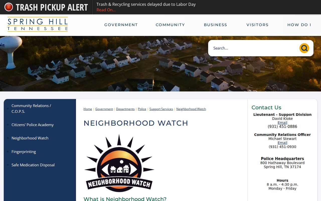
The manifest captured the City’s Neighborhood Watch page, the official public route for this program.
| Official resource | Spring Hill Neighborhood Watch |
|---|---|
| Purpose | City community safety program, not a resident or association roster |
| Contact | 931-451-0886 or 931-451-0930 |
| Police location | 800 Hathaway Blvd, Spring Hill |
The official Neighborhood Watch resource is the source shown in the captured image.
For neighborhood vocabulary, the city’s 2018 census summary lists subdivisions by ward, including names such as Buckner Crossing, Port Royal Estates, Autumn Ridge, and Kedron Estates. Those names are research seeds only. Confirm a current subdivision through the assessor field, parcel plat, zoning map, or Planning.
Compare Spring Hill Neighbor Tools
Official records and commercial neighbor-lookup categories have different evidence and limits. An official result can identify its custodian, record type, county, field role, and date. A commercial result may combine public and other data, omit the original source context, charge for access, or repeat old address associations. Treat any commercial result as a lead to verify through the relevant custodian, not as a reason to contact or profile someone.
| Question | Official record route | Commercial lookup category |
|---|---|---|
| Who owns a parcel? | Assessor card and deed record, each with county and date | May summarize data without the parcel or tax-year context |
| Which land is adjacent? | County GIS geometry, then individual parcel verification | May not show the governing map layer or current boundary |
| How can old data be corrected? | Ask the named custodian to correct or annotate a specific record | Use the provider’s privacy or opt-out route and save confirmation |
Tennessee’s privacy framework includes rights that can apply to qualifying private data controllers, but it does not replace county records rules. Use the documented privacy process for a commercial category and the actual county or city office for a parcel, deed, or map correction.
Protect Spring Hill Neighbor Data
Public parcel records have a narrow scope. They do not establish every person at an address, a household relationship, or a current personal situation. Safe at Home may provide a substitute address for eligible participants, and statutory exceptions can protect address and identifying material. Do not collect or publish full birth dates, identification numbers, personal phone or email details, minor information, medical or financial data, protected addresses, or victim information.
When a non-exempt map or parcel-related city record is needed, make a narrow Tennessee Public Records Act request for the existing record. Include the address, record type, and date range. Ask the custodian for non-exempt portions and the statutory basis for any redaction. Urgent safety matters belong with law enforcement or the courts, not a public database.