
Search a Spring Hill Street
Address-keyed records answer different questions. An assessor card can identify the tax-year owner and property location. A deed index follows a recorded transfer. A voter lookup can confirm one named person only. A criss-cross directory, when a dated volume is available, can supply a past address-to-name lead. None of those sources alone establishes every person connected with a home. Start with the parcel because it creates a stable key for the rest of the Spring Hill street directory work.
- Normalize the full address with the USPS tool, retaining the original spelling and the unit if there is one.
- Confirm whether the parcel belongs in Maury or Williamson County before choosing an assessor system.
- Search the assessor by address, then save the parcel, subdivision, lot, property location, mailing address, tax year, and displayed update date.
- Use the relevant Register of Deeds to follow grantor and grantee entries, the parties who convey property, and compare the legal description.
- Use Tennessee’s voter service only to confirm an individual with the required county, name, and birth-month and birth-year fields.
- For an older address lead, consult a year-specific criss-cross or reverse directory and corroborate it with a deed, newspaper, census, or archive reference.
That order is useful for an estate question, a family-history project, or a careful check of a seller’s stated property connection. Record the source and date at each step. A similar street name or a shared ZIP can otherwise send a search into the wrong county.
Normalize Spring Hill Addresses
Use the USPS ZIP Lookup to test the number, street, unit, city, state, and optional ZIP. Preserve both the address as found and the normalized result. USPS says its result does not confirm a person or company, so it is an address-control step rather than a resident result. The local record search still needs the municipality and county.
Spring Hill is a dual-county city. A Spring Hill mailing label does not settle either the city limit or the county custodian. ZIP 37174 is the core Spring Hill postal route, while large portions of the incorporated city use 37179, whose postal city is Thompson’s Station. Williamson’s county ZIP map also depicts 38401, but the research did not locate the exact overlap of that postal area with Spring Hill city limits. Check the parcel and a boundary layer for edge cases.
Spring Hill Assessor Search Fields
The public Tennessee Property Assessment Data search is the Maury route after county selection. It requires a county plus a search criterion. Williamson’s county property search supplies a separate set of controls. Use the narrowest field available, but do not force a spelling match when a parcel, subdivision, lot, or map key is already known.
| Search route | Fields available | Useful result fields |
|---|---|---|
| TPAD | County, term, owner, property address, subdivision, classification, sale-date range, control map, group, parcel | Owner, address, map/group/parcel, subdivision, lot, class, sale date |
| Williamson property search | Owner name, property address, subdivision, city, lot number, map, parcel, sale range | Owner, address, city, parcel description, lot, sale date, price |
TPAD can sort by owner, property address, parcel ID, subdivision, classification, or sale date and can filter results globally or by column. Williamson’s portal says its information is for informational use and prohibits bulk collection or redistribution. Search one address or parcel at a time. The Williamson results capture did not expose a coverage date, so save the date shown during a live search rather than implying a complete historical run.
TPAD’s parcel key is not merely a display number. The basic parts are a three-digit control map, a group that may contain letters, and a five-digit parcel number that may include a decimal after the third digit. Preserve all of those characters. A search by the full parcel key can resolve a changed street spelling or a duplicate address result. Subdivision and lot fields are useful supporting clues, especially when they match the plat or deed description.
For a Spring Hill address in Williamson County, use the county property search for the field named in the record, then use Maps for spatial context. For a Maury address, choose Maury in TPAD before entering the address or parcel. The city’s name and a ZIP alone are not reliable selectors for either property system.
Read a Spring Hill Parcel Card
A TPAD card separates the January 1 owner and mailing address from the property-location address. It can also show the tax year, last-updated date, control map, group, parcel, lot, subdivision, appraisal, class, sale details, and legal or GIS links. The public Maury sample showed a 2026 tax year and a separate owner mailing address. That structure matters when a mailing city differs from the situs, the physical property location.
Assessment data is not title proof. A sale block may be the assessor’s recorded transaction, but the deed controls the legal transfer. Blank fields should stay blank. A trust, estate, or company owner should also remain exactly that, not be rewritten as an individual occupant. The card is a strong address anchor for the street directory, not a complete current-residency list.
Spring Hill GIS and County Lines
Williamson County Maps links to parcel, ZIP, voting, zoning, and flood layers. Use the map to view a parcel’s geometry and the nearby boundaries, then return to the county property record for the text fields. For a Maury parcel, an official standalone Maury GIS viewer was not located in the research. Use the TPAD GIS route when it is available, along with assessor confirmation and the state boundary service.
The successful manifest capture below is from the Williamson ArcGIS entry point. It illustrates the map route, not a fixed list of people or a permanent parcel popup. Map tools and visible fields can change, so retain the source URL and access date with any map observation.
Click the subject parcel first, note the parcel identifier, and query each nearby parcel separately. A map boundary or a postal city label is not a substitute for the county assessor’s determination.
Trace Spring Hill Deed Chains
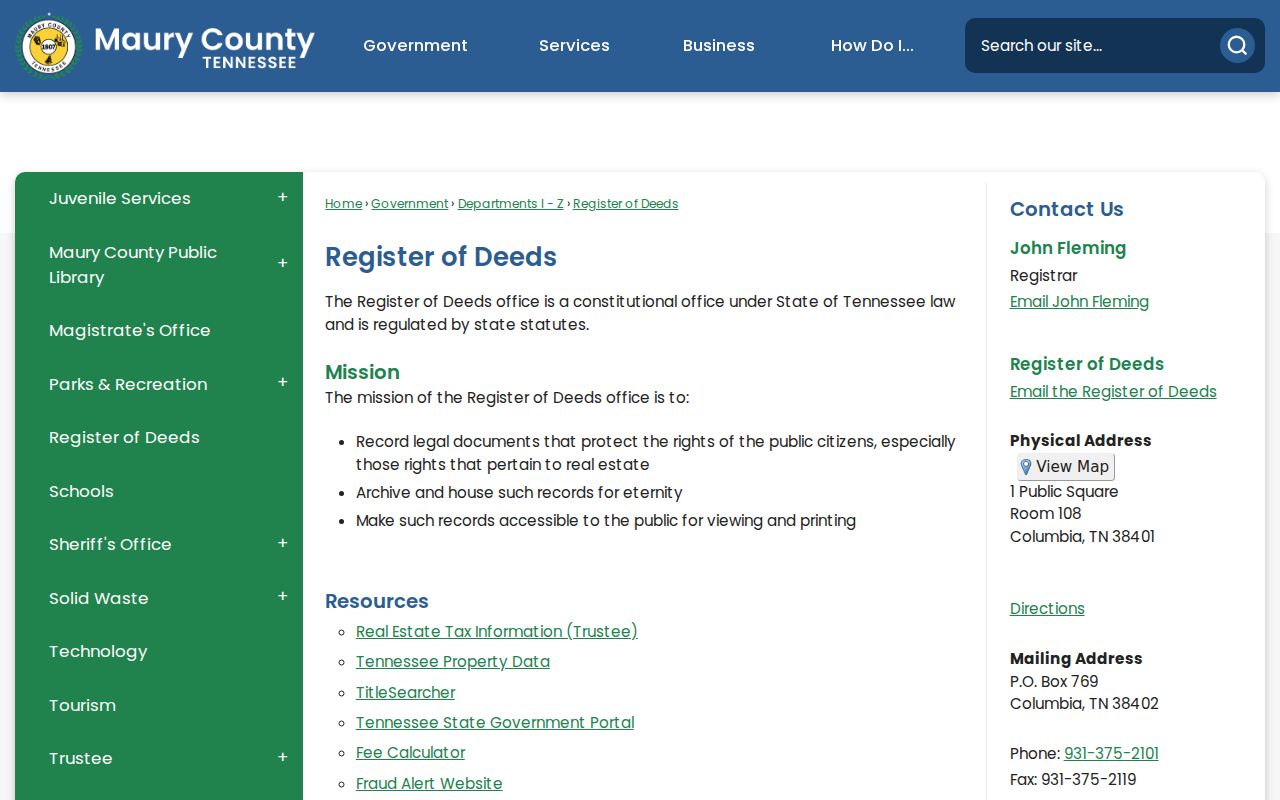
The county changes the deed path. The Maury County Register of Deeds provides public in-office viewing and printing and links to a TitleSearcher index. Search grantor and grantee separately, then preserve the recording date, document type, book and page or instrument number, and legal description. Index and image access can differ, and the external index may charge.
Williamson’s official Register directory identifies the current office at 1320 W Main St, Suite 201, Franklin, with weekday hours and phone contact, but the research did not locate a current public index URL or coverage statement. For older work, Williamson Archives provides a free name, keyword, and field search that can point to microfilm, a bound book, or a loose file. The reference is a lead until the cited document is reviewed.
The manifest captured the Maury deed-office entry point at the official Register of Deeds page. It is the correct starting point when a Spring Hill parcel lies in Maury County.
Compare the legal description with the assessor’s parcel and subdivision information. That keeps a deed chain tied to the land, even if a street spelling or postal label later changes.
Confirm Spring Hill Voter Records
Tennessee’s public voter lookup is a confirmation tool for one person, not a street browser. It requires county, first name, last name, birth month, and birth year. A no-match result directs the user to the local election commission. Because Spring Hill spans two counties, pick Maury or Williamson only after confirming the parcel’s county.
The state service does not justify a conclusion about a whole address, a private household, a person’s current presence, or political preference. Registration records have confidentiality limits, and Safe at Home protections can change what is available. For a county-specific question, Maury and Williamson Election Commissions are the documented official contacts. Do not republish birth details or protected address information from any lookup.
Spring Hill Historical Street Leads
Reverse or criss-cross directories are the address-to-occupant layer for older research. Search a street and number in a dated volume, then compare the notation with a deed, local newspaper, census image, or archive reference. No official Spring Hill-specific reverse-directory run was located, so a directory hit should not be treated as a complete run or as proof without a second record class.
Spring Hill Public Library offers local discovery resources, while Williamson Special Collections holds city directories, newspapers, maps, tax and court material. TSLA lists Maury County deed, marriage, will, and newspaper microfilm routes. For historical collections rather than current address records, use the Spring Hill directory book route to keep dated volumes and their access conditions separate from the live parcel search.
Archive notes should distinguish an index hit from a reviewed document. Williamson Archives can point a searcher to microfilm, a bound book, or a loose file, each with its own viewing or copy path. Retain the collection, record group, name as indexed, reference, date span, county, page or image availability, URL, and access date. That evidence trail is more useful than a copied name alone when an older street record is later checked.
Spring Hill Address Record Terms
Short labels can hide important differences. Read the field name before using it in a street-by-street note, especially where records place a name near an address without saying why.
- Parcel
- A county’s mapped property unit, identified in TPAD by control map, group, and parcel or in Williamson by map and parcel.
- Situs address
- The physical property-location address, distinct from the owner mailing address used for notices.
- Plat
- A recorded map that can identify a subdivision, lot, block, easements, and the legal description of land.
- Criss-cross directory
- A dated directory arranged from address to occupant name, useful as a historical lead rather than proof of a current resident.
Store the tax year, recording date, directory year, and access date with each note. Those dates answer different questions and make a later review possible.
Protect Spring Hill Address Data
Street records do not reveal every person at an address. Private household members, utility customer information, protected motor-vehicle address data, and many sensitive identifiers are outside the public street-record path. Owner, permit applicant, voter registrant, and mailing recipient are distinct roles. Keep that distinction visible instead of combining records into a personal profile.
If an existing city map, permit, inspection, or planning record is needed, request it from the Spring Hill City Recorder or the relevant department with a narrow address, date range, and record type. Ask for the non-exempt portions and the statutory basis for any redaction. That approach respects the Tennessee Public Records Act while keeping the request tied to an actual record.